It goes through different livestock roads, royal routes, mountain paths, rural paths…
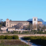
It joins the monasteries of Sant Jeroni de Cotalba in Alfauir, Convent del Corpus Christi in Llutxent, Monasteri de la Valldigna in Simat, Aigües Vives in Carcaixent and Santa Maria de la Murta in Alzira.
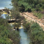
Within this route there are two different routes. The first can be done by road, to access the monasteries by car, and the second suited to the practice of hiking, through the approved route GR-236. The route on foot runs along ancient historical paths of medieval origin, such as el Pas del Pobre, which links la Murta valley with the Valldigna valley.
It also runs along different livestock trails, royal routes, mountain paths, rural roads and old railway tracks, such as the one that linked Carcaixent with Denia. The route starts at Gandia train station and ends at Alzira station, to connect with public transport.
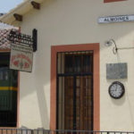
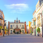
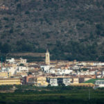
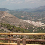
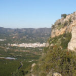
During the 90 kilometres it also passes through the towns of Almoines, Beniarjó, Palma de Gandia, Ròtova, Alfauir, Almiserà, Llutxent, Pinet, Barx, Simat de la Valldigna, Benifairó de la Valldigna, la Barraca d’Aigües Vives, Carcaixent or Alzira.