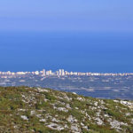
We can observe the remains of an ancient Iberian castle and panoramic views of the Mediterranean Sea.
We start la Ruta Font de la Sangonera – Alt de les Creus (PR-V 38) in the town centre of Tavernes de la Valldigna. Walk along the streets of the old area, from the first roundabout of the CV-50 towards the secondary school along Mestre Serrano Street until we reach Doctor Gómez Ferrer Street, where we turn left until we get to the crossroads with Castellets Street and then turn right.
After a few metres we will find the defensive wall on the right side, at the foot of the mountain of les Creus, where we take the forest track. After a few hundred metres, we arrive at l’ermita del Calvari, of architectural importance, from the 19th century. From this point onwards, we move away from the town centre until we reach la Font de la Mina signposting. The forest track is transformed into a path, which is signposted and winding and we reach the top of the mountain.
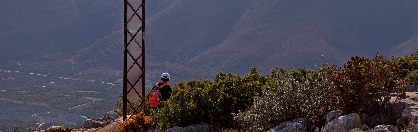
We follow the signposting towards the summit of les Creus. During the ascent, we will be able to enjoy one of the best panoramic views of Valldigna. After a few kilometres, we will reach the summit of les Creus. From this point, and following the indications that guide us to Tavernes, we will begin our descent which in some parts becomes really vertiginous, with cuts to great height along the path, because of that we will have to extreme the precautions.
During the descent we can see the remains of an old Iberian castle and panoramic views of the Mediterranean Sea. Finally, the path will lead us to the beginning of the defensive wall again, where our journey ends.