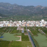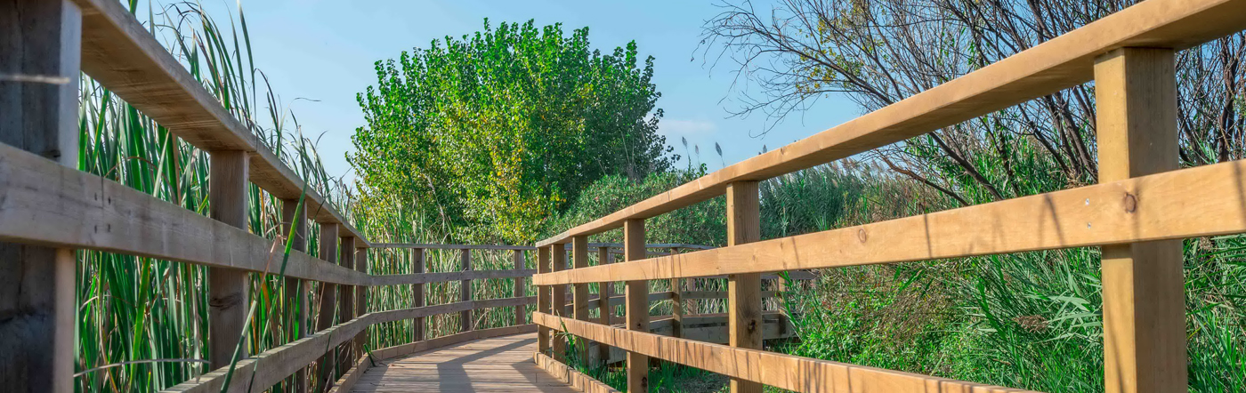
Wetlands developed in a coastal plain.
La Marjal is part of an environmental unit with a total area of 1,225.34 hectares. It includes the municipalties of Tavernes de la Valldigna, Xeraco, Xeresa and Gandia.
Geomorphologically, it is a wetland zone developed in a coastal environment. It presents little depth due to the natural and anthropogenic clogging of the water sheets. The water contribution of this ecosystem comes from groundwater, which comes to the surface through springs, natural sources that put the aquiferous in contact with the surface. It is also necessary to point out that surface waters collaborate in the water supply of the marshlands, but in a smaller percentage.
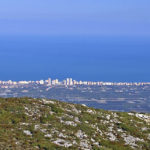
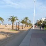
This freshwater is separated from the Mediterranean Sea by a coastal cordon that forms a sandy barrier, built on the aports of sediments from the rivers, which then drift marine currents are responsible for distributing in the area infra-littoral and coastal N-S direction.
DIFFERENT TYPES OF PROTECTION:
http://www.agroambient.gva.es/ca/web/biodiversidad/marjal-de-la-safor