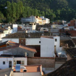
We start the route to l’Orxa
On the road towards Beniarrés, after crossing the river, take a detour to the right along an asphalted track that leads to the old train station. In this place we took the forest track on our right, following part of the train route that linked Gandia and Alcoi. The route runs along the left side of the river to the municipality of Vilallonga, which we will cross while we see one of the light factories located on the banks of the Serpis.
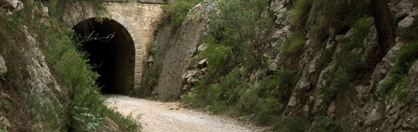
On this route, we will find several tunnels until we find a detour that leads us to a small path, uphill to the summit of la Safor, where the most difficult part of the route begins. Once inside el Circ de la Safor, we will leave la Finestra on our left and continue climbing up to la Nevera, where we can rest before approaching the final stretch to the summit, at an altitude of 1,011 metres.
To descend, we return to la Nevera again, and we take the path on the left that brings us, after a long descent and leaving a forest track on our right, to la Font dels Oblits. We will find a place to prepare meals and to rest before continuing our journey. The last descent of the route is through a path that we will find at the bottom of the recreational area that begins in the left direction. The path descends until it brings us to its starting point.